Español
 Français
 Deutsch
 Italiano
 Português
 Nederlands
Sierra de Mijas
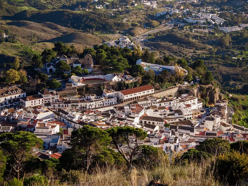
Mijas Pueblo, Mijas
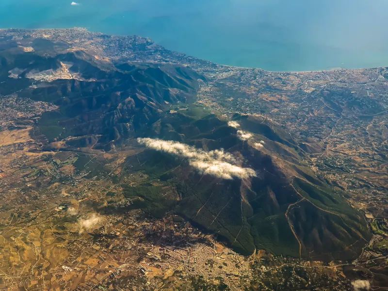
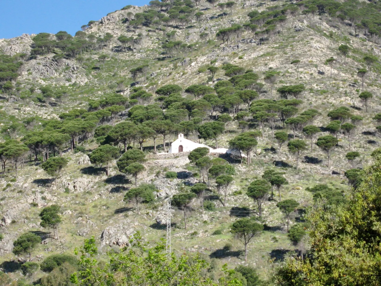
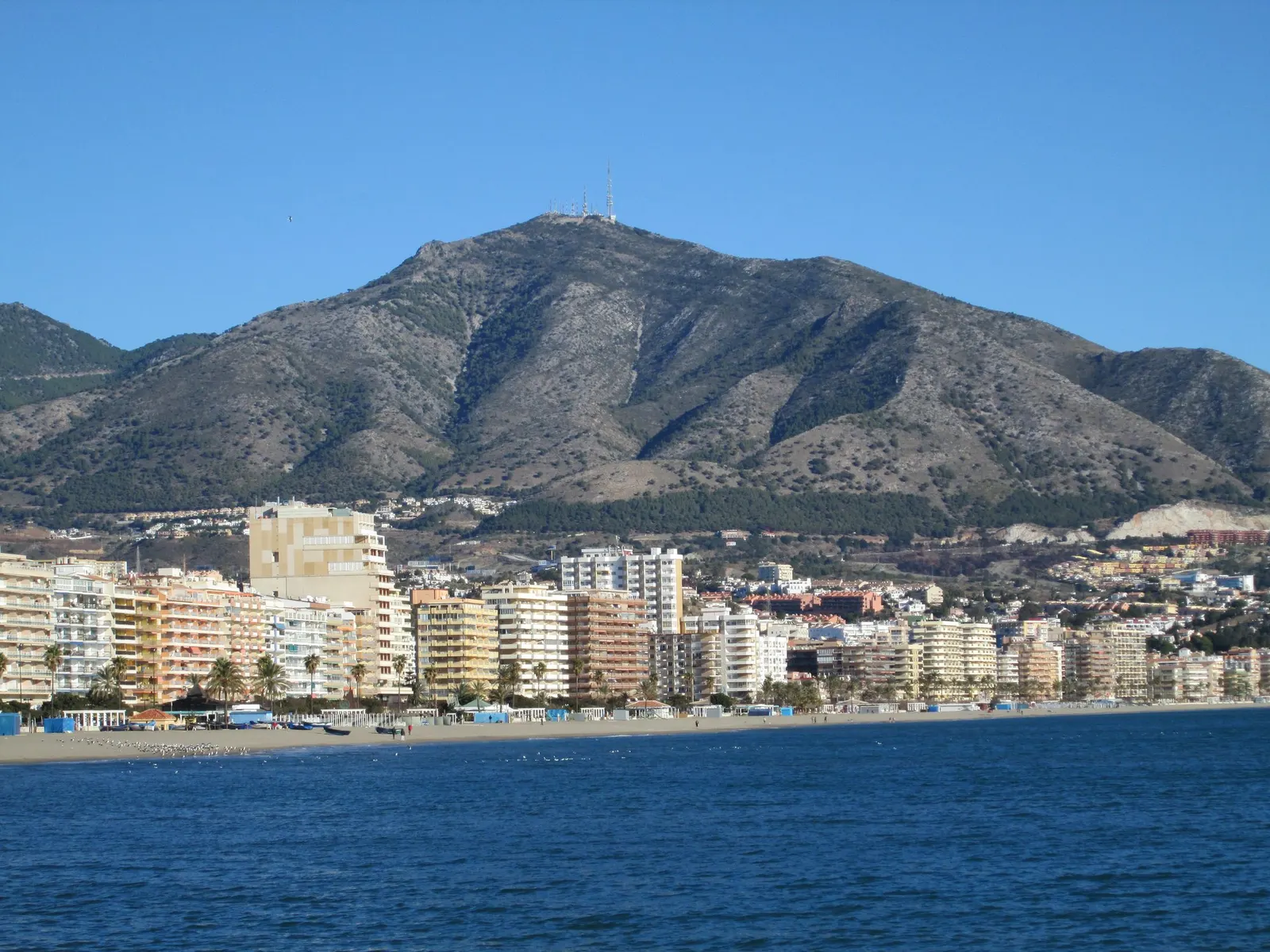
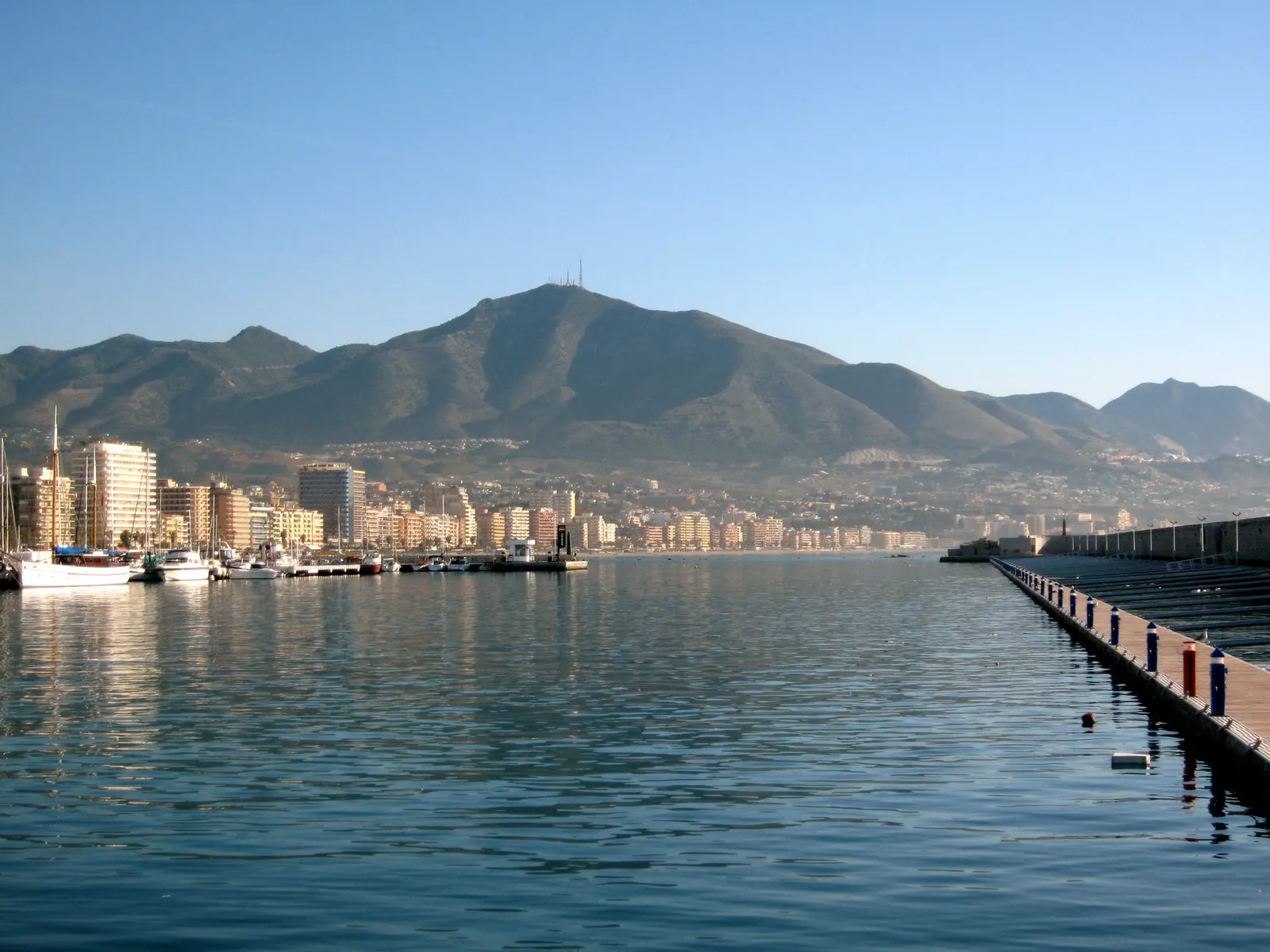
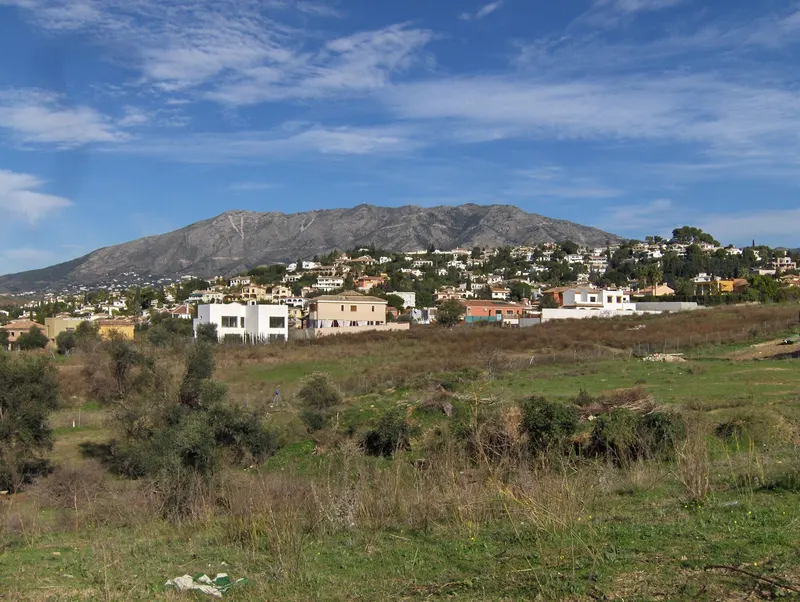
A marble mountain range rising behind the village, with pine woods, the summit of Pico de Mijas (1,150 m) and a network of waymarked trails.
Mijas’s great natural landscape
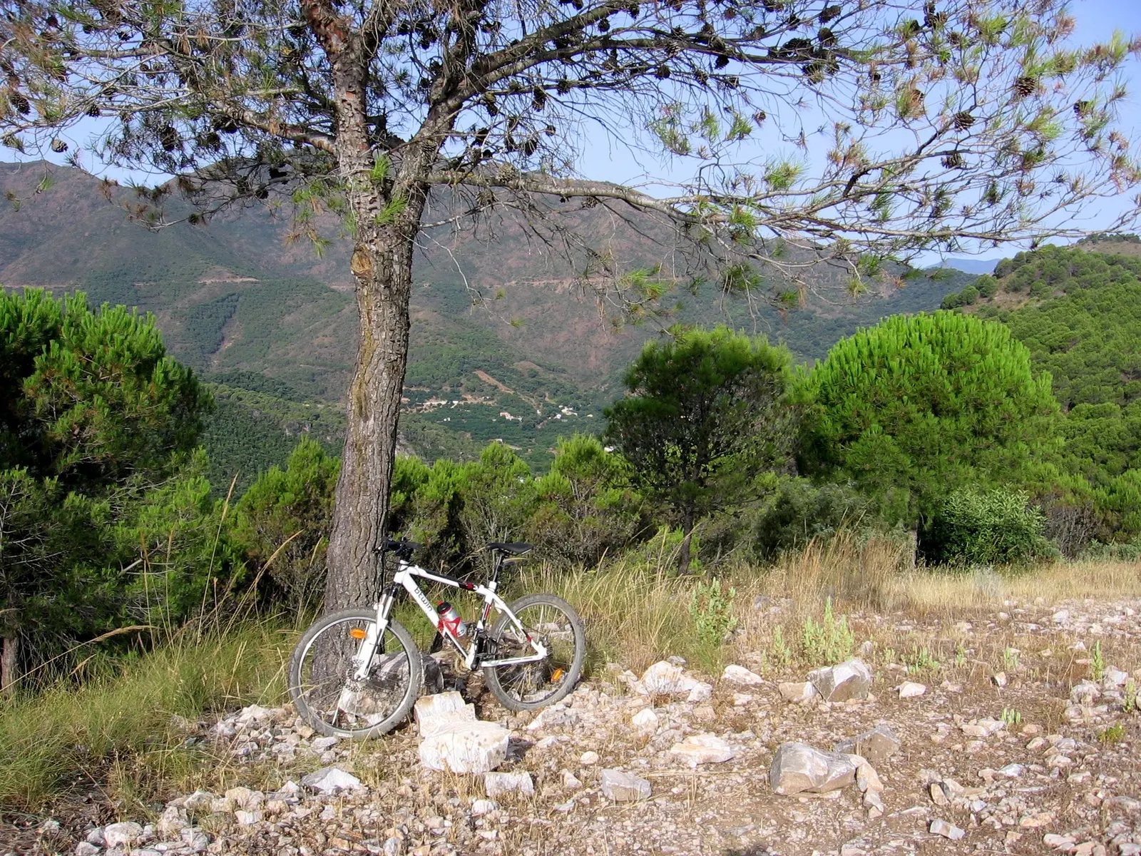
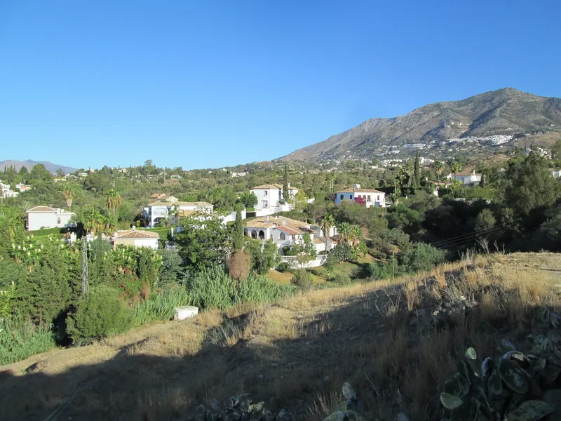
The Sierra de Mijas is a marble mountain range running parallel to the coast, separating the western Costa del Sol from the Guadalhorce valley. It extends across Mijas, Benalmádena, Torremolinos, Alhaurín de la Torre, Alhaurín el Grande and Málaga. Its highest point is Pico de Mijas, at 1,150 metres. The landscape features pine woods planted in the mid-20th century, Mediterranean scrub and wild orchids.
Waymarked trails
A network of official trails on the southern slopes starts at the viewpoint in Mijas Pueblo:
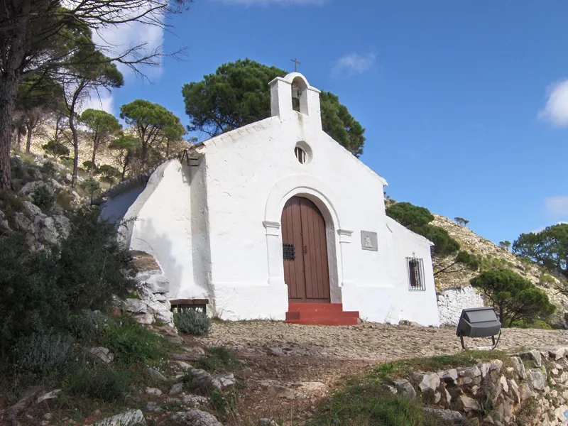
- Ermita del Calvario: 4 km circular route with 318 m of elevation gain.
- Fuente de la Adelfa: 6.7 km circular route.
- Cruz de la Misión: 7.8 km.
- Cerro Málaga: 7.4 km.
- Pico Mijas: 9.6 km out and back with 750 m of elevation gain.
- Pista Sur «Panorámica Mijas»: 12.4 km.
The GR 249, Gran Senda de Málaga also passes through the mountains, with a stage between Mijas and Benalmádena.
Advice
Avoid the hottest hours in summer, carry water and follow fire prevention rules.
Photos
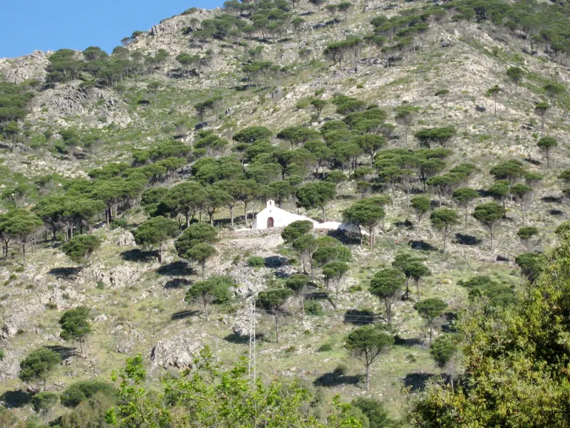
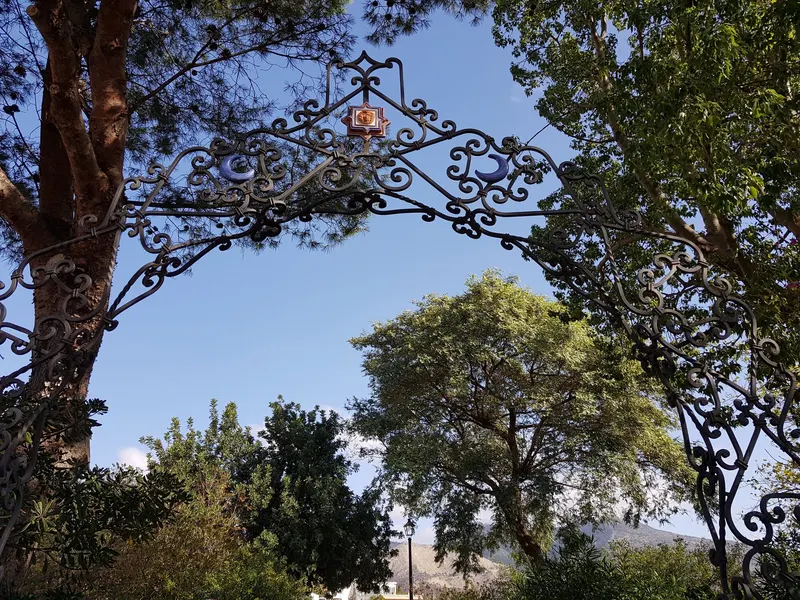
Photo: Olaf Tausch · CC BY 3.0 · Wikimedia Commons 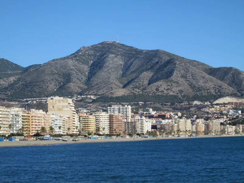
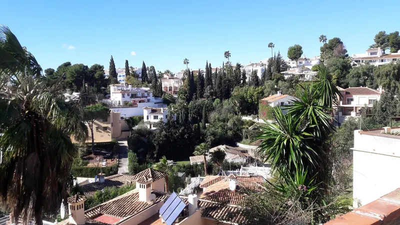
Photo: Tyk · CC BY-SA 3.0 · Wikimedia Commons 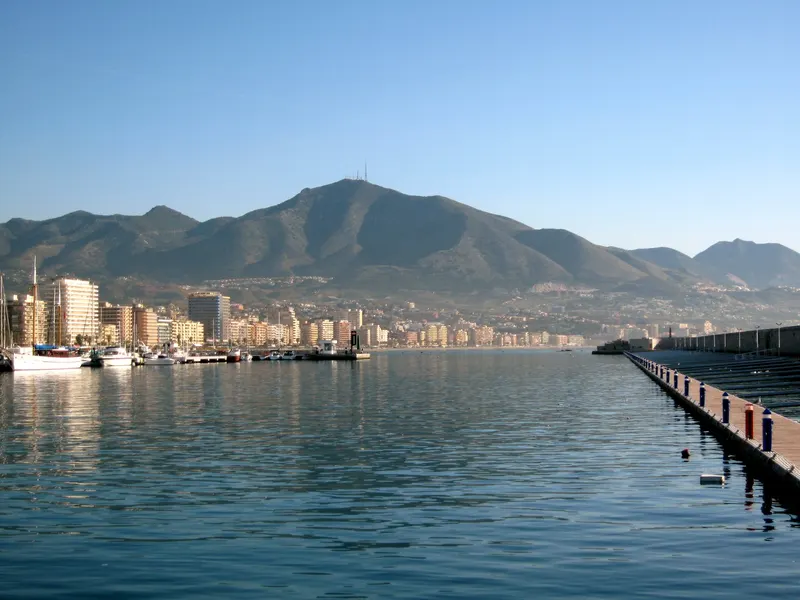
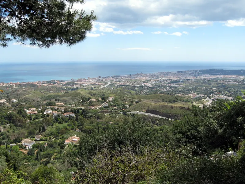
Photo: Olaf Tausch · CC BY 3.0 · Wikimedia Commons 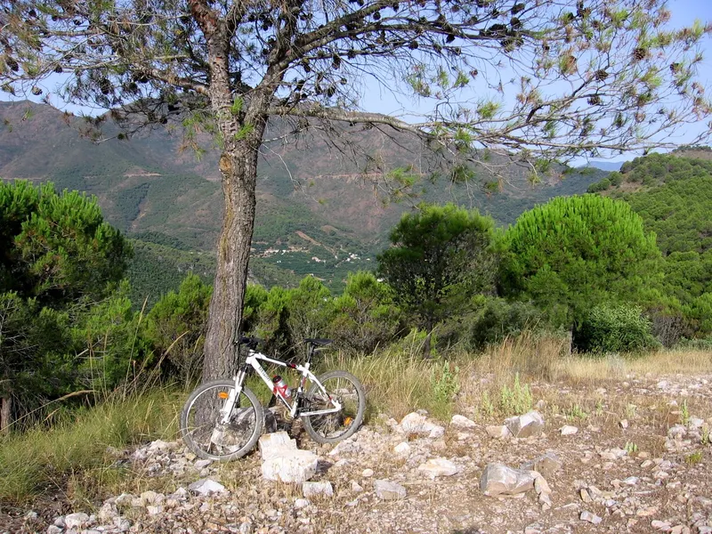
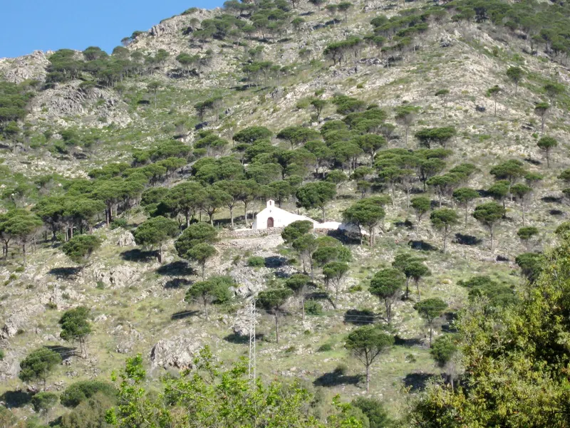
Photo: Antonio from Mijas, España · CC BY-SA 2.0 · Wikimedia Commons